Hiking the Four Falls Trail

Nestled in the heart of Brecon Beacons National Park. This Four Falls Trail is a gentle 8km taking you to some of the most beautiful waterfalls Wales can offer. Whilst less challenging than Pen y Fan, there are still some steep sections you will have to navigate. If you’re open to a day of adventure, combining both hikes in one day can be demanding but incredibly rewarding.
I arrived here fresh from my walk-up Pen Y Fan. I’d had a bit of time to relax in the drive over but secretly I would have preferred longer when I arrived in the car park. The weather was starting to heat up and any clouds lingering from my previous hike had gone. I got my bag out and tried to lighten my pack, as well as change into shorts. Once happy, I grabbed my bag and made my way to the map to check out the area.

As you may have guessed from the name Four Falls Trail, the trail is home to four beautiful waterfalls for you to explore. These are Sgwd Clun-Gwyn (Fall of the white meadow), Sgwd Isaf Clun-Gwyn (Fall of the lower white meadow), Sgwd y Pannwr (Fall of the Planner) and Sgwd-yr-Eira (Falls of snow). I was most excited to visit the final waterfall, Sgwd-yr-Eira. I had been told about the perfect pathway to get up close and take a stroll behind the cascading water.
Sgyd Isaf Clun-Gwyn
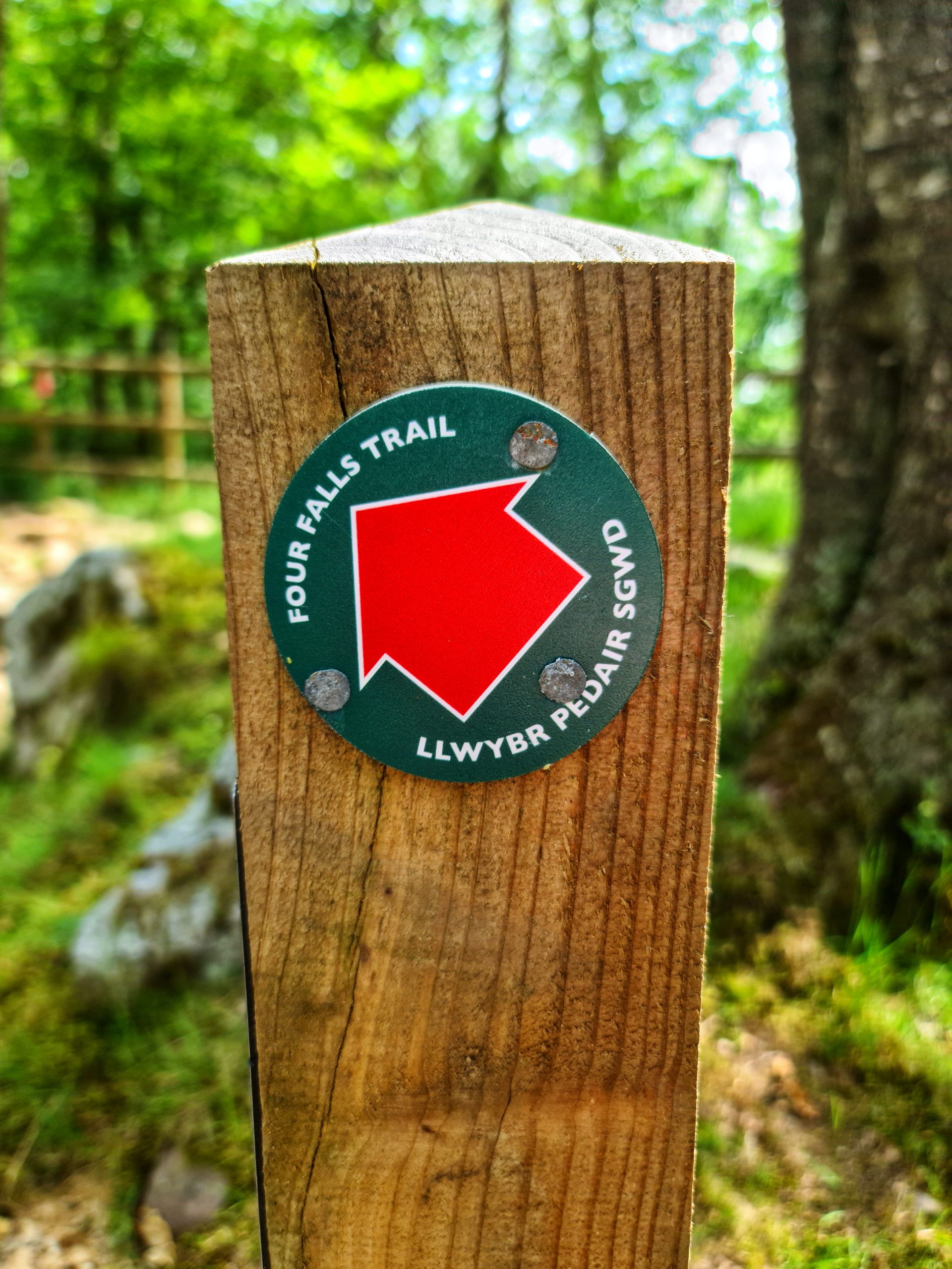
The map told me the Four Falls trail consists of two paths: a red path (easier) and a green path (more difficult). It may take a moment to adjust to the colour scheme, but the majority of the time your journey will be spent on the red path. However, to get up close to the waterfalls you will have to venture onto the green routes. I started my way down along the red towards the first waterfall, Sgyd Isaf Clun-Gwyn.

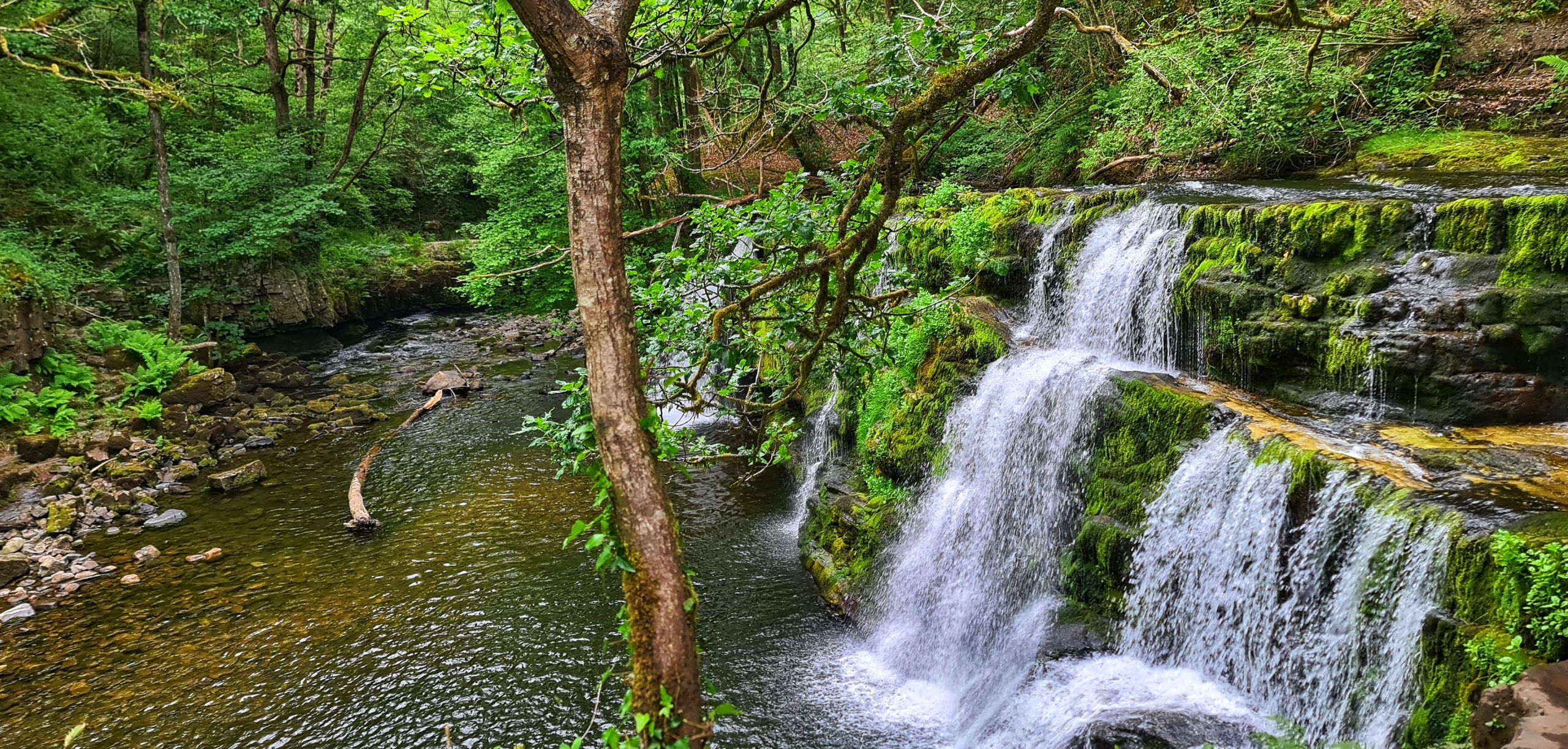
Sgyd Clun-Gwyn soon came into sight, with this route, we were standing against a fence watching the water cascade down below. All the waterfalls here are beautiful, but if you are put off by the steps down then seeing this view will instantly change your mind. I was desperate to get down in the water and cool off in this heat, but all too soon it was time to head off to the next one.
Sgwd y Pannwr
We next headed past Sgwd Isaf Clun-Gwyn and straight to Sgwd y Pannwr. Although Sgwd Isaf Clun-Gwyn looks next on the map to get there you have to take a red route down to Sgwd y Pannwr and backtrack on yourself. When we reached the bottom we came to a small stream that fed into it. Despite all our climbing, we were still at the top of the falls. But it’s the best possible view. The waterfall stretches wide, with all the water feeding into a pool below. I could see a couple in their swimsuits enjoying the water below (although there were warning signs to be careful). It was tempting to join them but I had neither my towel nor my swimsuit. Instead, I headed over to the stream, took off my boots and cooled down in the water.
Sgwd Clun-Gwyn
After what felt like not long enough, I knew we were burning daylight and had to start making our way to the others. To reach Sgwd Isaf Clun-Gwyn we had to follow the stream back in the direction we had come. This path was a lot more difficult, at many points I wasn’t sure If we were still on the path or not. We eventually made it up to Sgwd Isaf Clun-Gwyn where we saw more people swimming here. In certain parts it looked a lot more dangerous though so I was less keen.
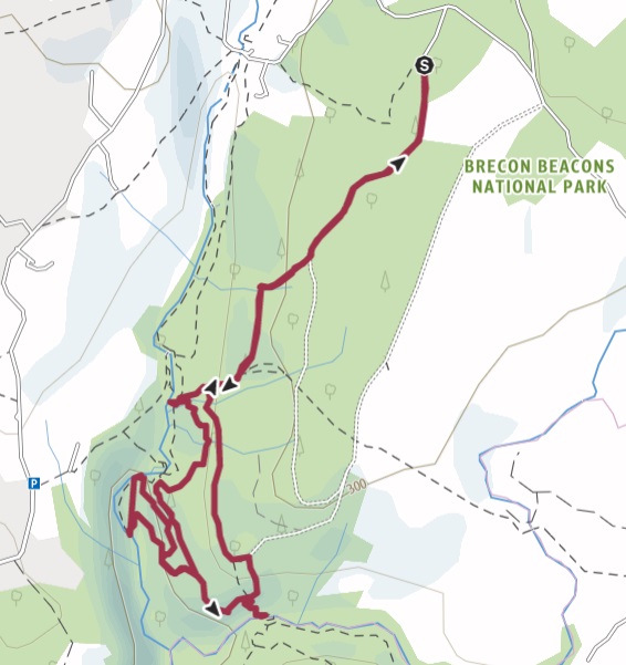
The route we took from here on the Four Falls Trail had a very steep path with no steps, making us almost scrambling at times. Eventually, the route circled back and started us back to the main path. Surrounded by foliage all I could see was a steep drop to my right. Usually I’d be worried about getting lost. We had no internet or phone signal at all during this section. Luckily I had started tracking my route using my Komoot app which relies on GPS. So every step of the way I could see exactly where I had been.
It was reassuring to see that the path I was on was about to reconnect me with the stairway I had taken previously down to Sgwd y Pannwr. I didn’t recall seeing a split in the path on the way down, and when I reached the end I realised why. Blocking the path was a thick foliage. There was no way I would be going back the way I came so I carefully pushed my way through and sighed relief when I was back on the main stairway.
Sgwd-yr-Eira
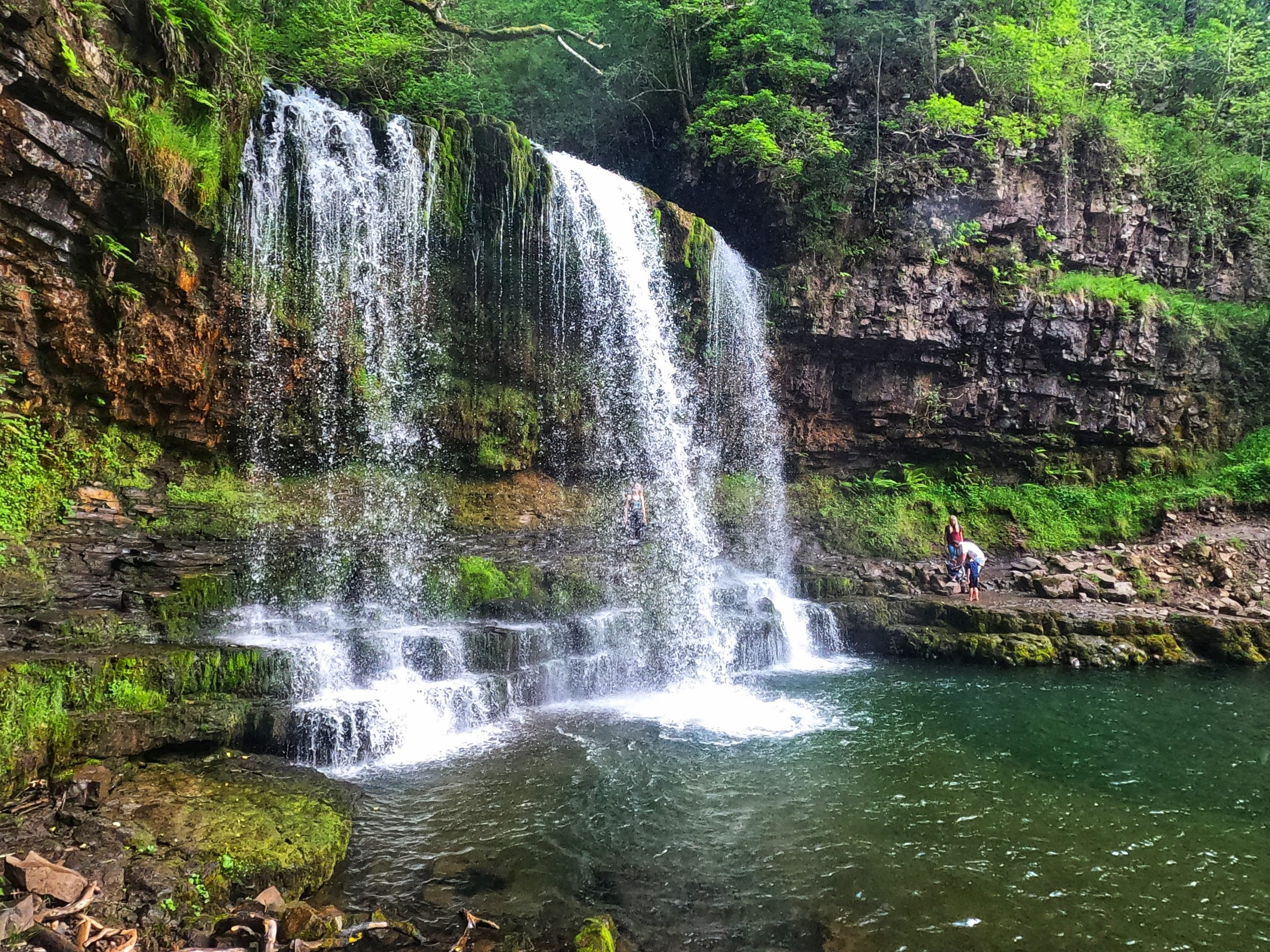
Three waterfalls down, and one to go. This was the waterfall I had been waiting for, Sgwd-yr-Eira. Once again we followed the path and came to a steep set of steps. On a hot day, the spray from the waterfall provides some much-needed relief after your walk. You have to be careful though as the rocks can be incredibly slippery and dangerous if you are not careful. The most dangerous part is completely optional, but its a small route behind the waterfall. You will need all your balancing skills to get there but it is a beautiful place to be.

Unfortunately for me, my time at the Four Falls Trail was coming to an end. The sky was starting to go orange as the sun set. So we decided it was time to head back to the car park. The route back is relatively easy once you have gone through the ordeal of climbing back up the steps you just descended. After reaching my car and packing away my daypack, the drive back through Wales has some of the most beautiful roads I have ever driven on.
Ending the day back at my hotel I treated myself to a beautiful meal in the attached restaurant. When I inevitably return to the Brecon Beacons I will be repeating this day exactly. I was lucky enough to have beautiful weather. You cannot beat the stunning views, finishing it all off with a nice cold beer and mouth-watering food.
Four Falls Trail FAQ’s
Where do I park for the Four Falls Trail?
There are two car parks nearby, both are pay and display and accept cash only. Spaces are limited, so getting there early will ensure you don’t miss out. The two car parks are called Gwaun Hepste and Cwn Porth (CF44 9JF). I started from Gwaun Hepste, which is the furthest from the falls but has more car spaces.
How much does parking cost?
Parking is £4 for cars and £7 for minibuses.
How long does the Four Falls Trail take to complete?
The completion time will vary depending on your fitness level and if you stop for lunch (something I recommend you do by the waterfalls). I completed the trail in just over 2 hours but I could have easily spent longer here.
Where can I go next?
If you have chosen to do this trail first, then I would recommend Pen Y Fan next. It’s a tougher walk but has beautiful peak views.
What equipment do I need?
There’s no specific equipment required for this hike. I saw families in trainers and others with full hiking boots. Check out the weather report for the day. But if you intend on going in the water then swimwear and a dryrobe, a towel. For everyone else then as a minimum, you will need water and food.


